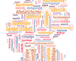
This 7th iteration (2011) of the ongoing exhibition Places and Spaces explores the utility of science maps as visual interfaces to digital libraries to support the selection, navigation, management, and usage of resources by communicating (see website )


